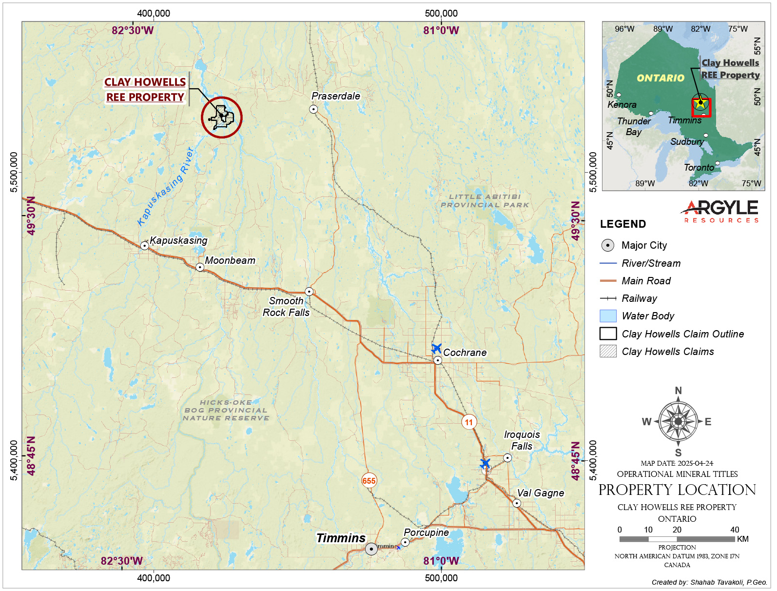
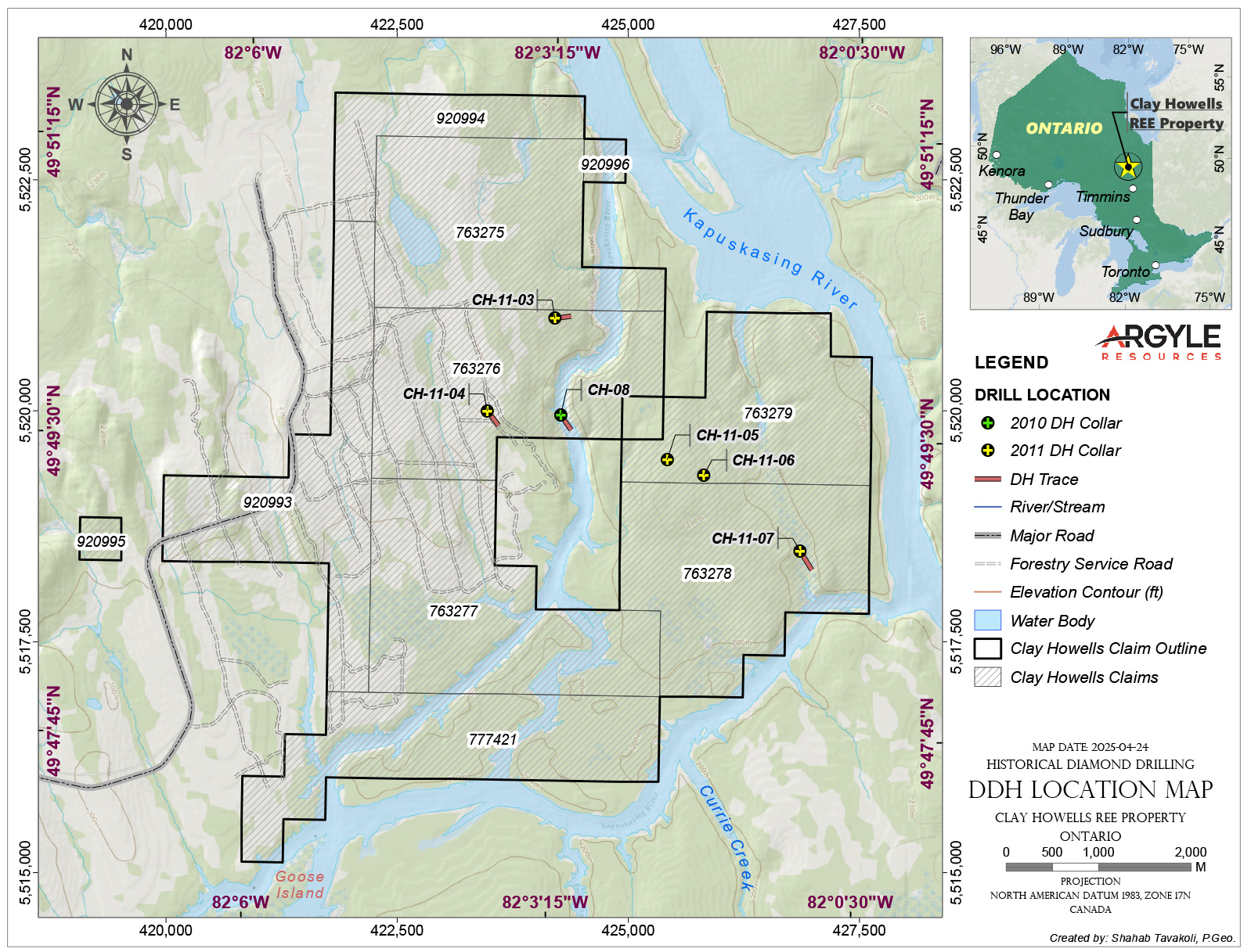
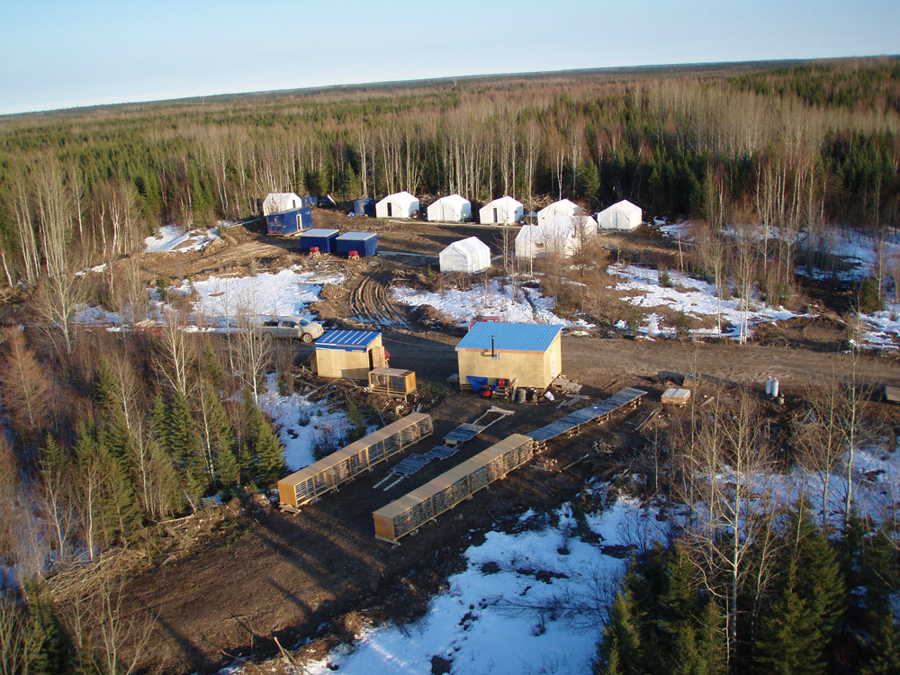
The Clay-Howells REE Property is located in northern Ontario, approximately 70 km north of the community of Kapuskasing. The project consists of 10 contiguous mining claims totaling 160 hectares. The mining claims and patents can be easily accessed by 4×4 pick-up truck using an all-weather access road from Kapuskasing and an abandoned logging road named CSR-8. 2010 and 2011 drilling activities were staged from a camp located at UTM coordinates 4213982E and 5522864N (Zone 17, NAD 83.)
The Clay-Howells Alkalic Rock Complex is comprised of 2 broad types of silica over-saturated syenitic rocks intruding a sequence of Early Precambrian aged paragneisses and orthogneisses that have been regionally metamorphosed to the upper amphibolite – granulite facies typical of the Kapuskasing Sup-Province (Sage, 1988).
Click image to enlarge
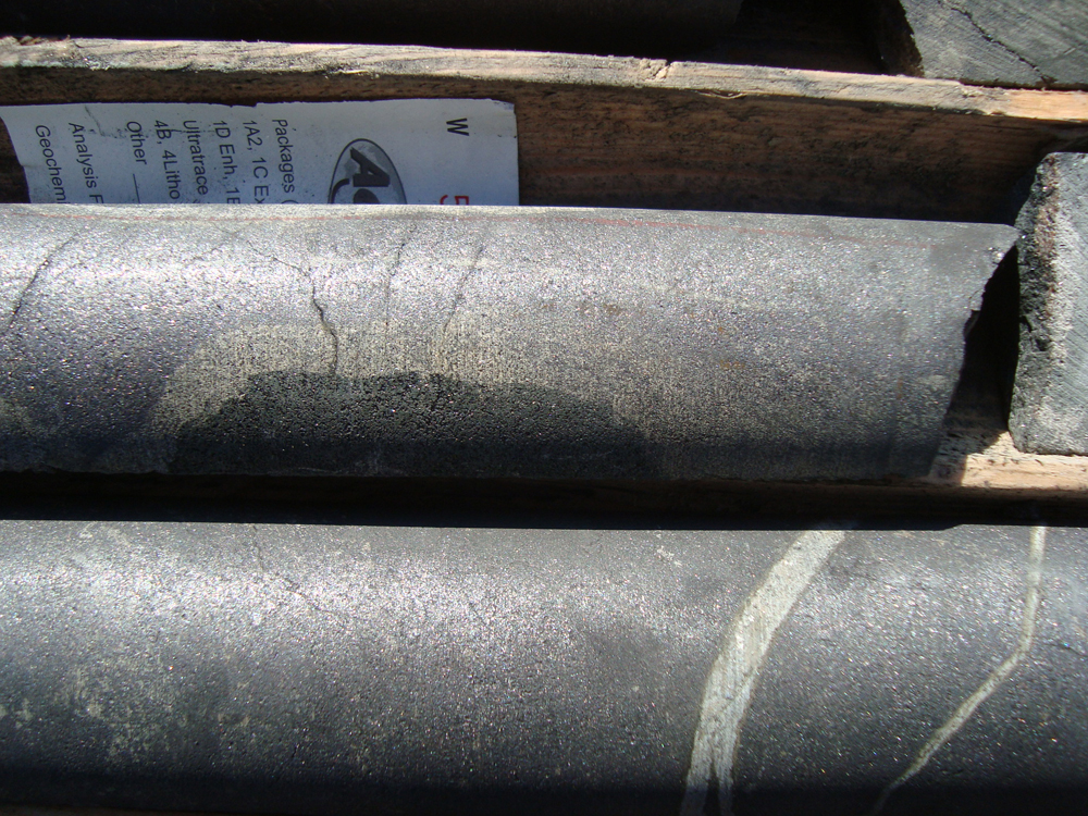
Historic Drilling
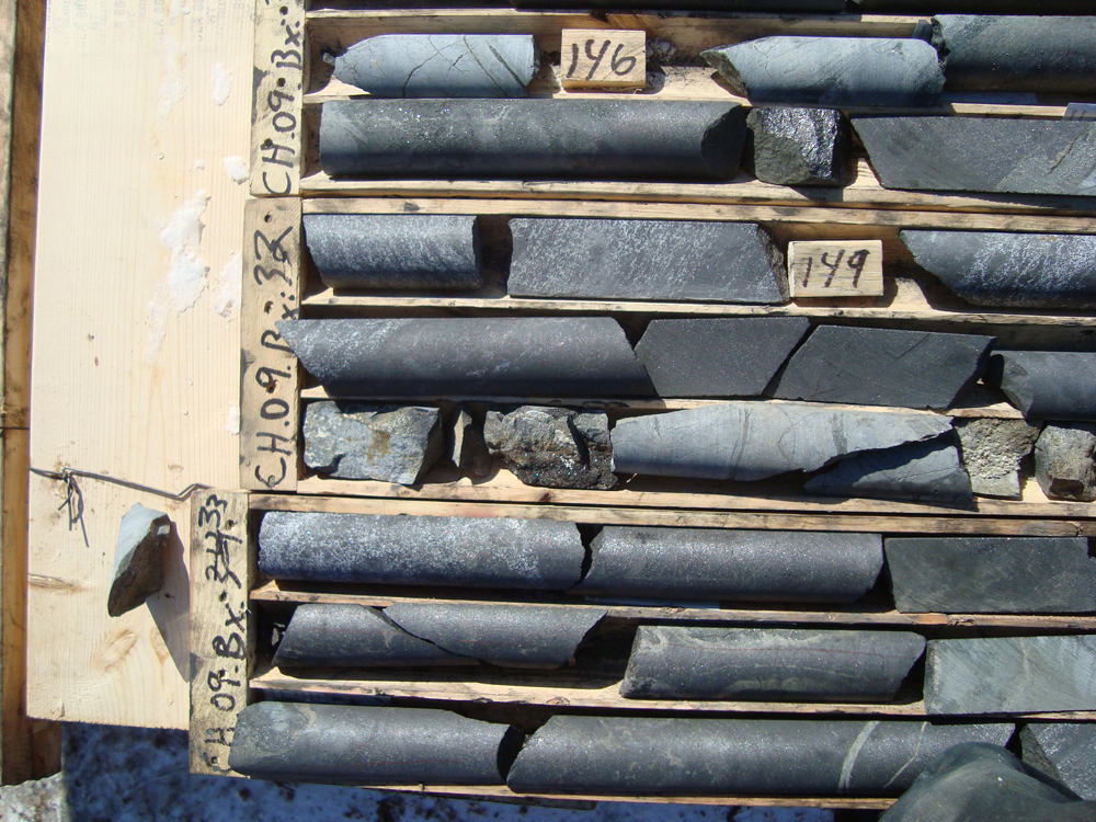
Diamond drilling activities were conducted on the Clay-Howells Property in 2010 and a follow up drill program in 2011. Norex Drilling Ltd. was contracted to build a camp on the property as well as conduct the drilling operations.
A total of six drill holes were completed within the carbonatite – magnetite zone to test Niobium – Rare Earth Element mineralization at depth.