Pilgrim Island
Main Menu
Main Menu
INTroDUCTION
Les Pelerins Islands Sector
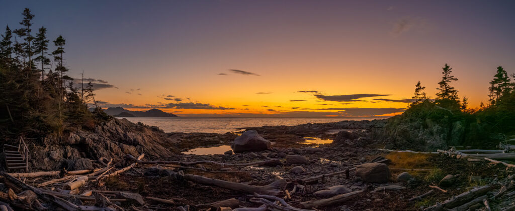
Despite the absence of mining exploitation, the region is recognized by sedimentologists for its quartzites, which are particularly well exposed on the Pèlerins (Pilgrim) Islands bordering the coastline of the south shore of the St. Lawrence.
Source: GM18030 – Geologic Report, Pilgrim Islands Quartzite – K.W. Greig – dated 1945
PROJECTS
BOVILL (USA)

ST. GABRIEL

PILGRIM

MATAPEDIA

COMPORTÉ

CLAY-HOWELLS (REE)

BOVILL (USA)
FIND OUT MORE ABOUT OUT BOVILL PROPERTY
READ MORE

St. Gabriel
FIND OUT MORE ABOUT OUT St. GABRIEL PROPERTY
READ MORE

PILGRIM
FIND OUT MORE ABOUT OUT PILGRIM ISLAND PROPERTY
READ MORE

MATAPEDIA
FIND OUT MORE ABOUT OUR MATAPEDIA PROPERTY
READ MORE

COMPORTÉ
FIND OUT MORE ABOUT OUR LAC COMPORTÉ PROPERTY
READ MORE

CLAY-HOWELLS


